
3D Cave Surveys
Explore Mendip caves and mines from your armchair
These 3D models are LiDAR scans of caves and mines on Mendip, made by MCG member Tom Harrison. You can turn them round, zoom in and look at features the survey team found along the way. They were first published on armchaircaving.com.
How to use the models
- Press Load 3D model. The files are large, so it can take a minute or two, and it’s best on Wi-Fi.
- Drag to turn the model, pinch or scroll to zoom, and drag with two fingers to move it.
- Tap an orange dot to see what’s there.
- On many phones and tablets, View in your space puts the cave in the room with you.
The Models
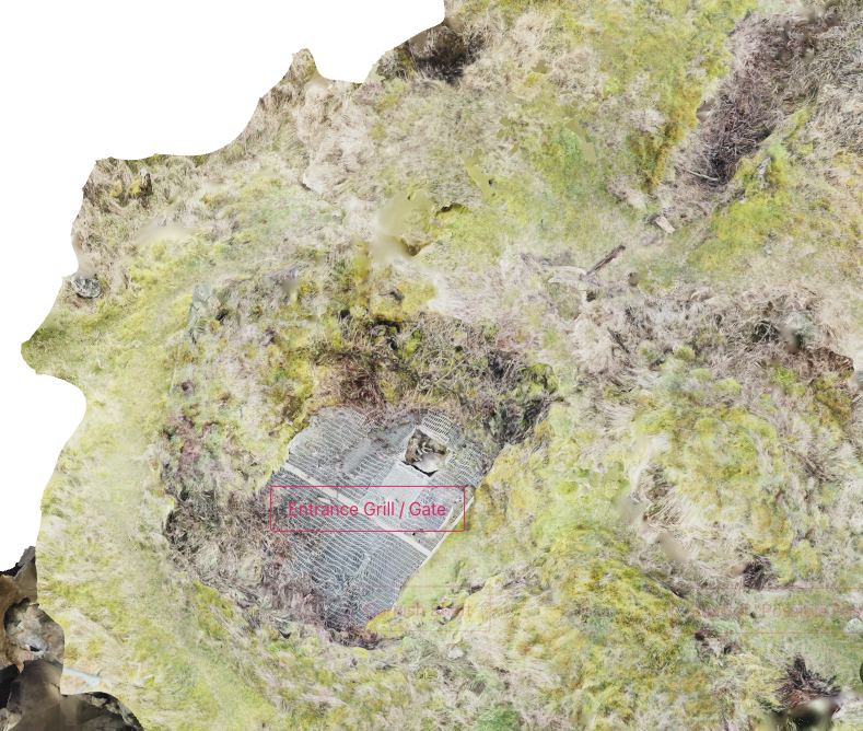
Stainsby’s Shaft / Blackmoor Swallet
View model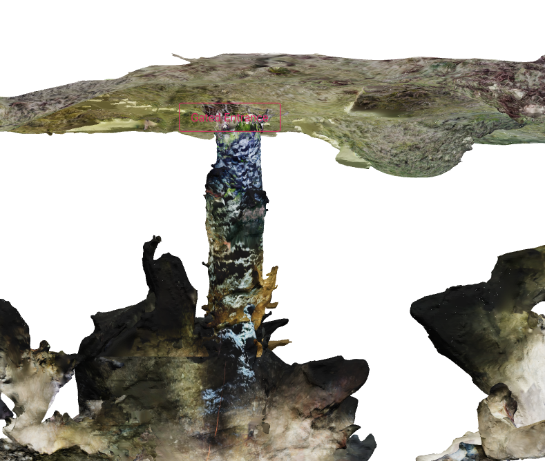
Charnel Shaft
View model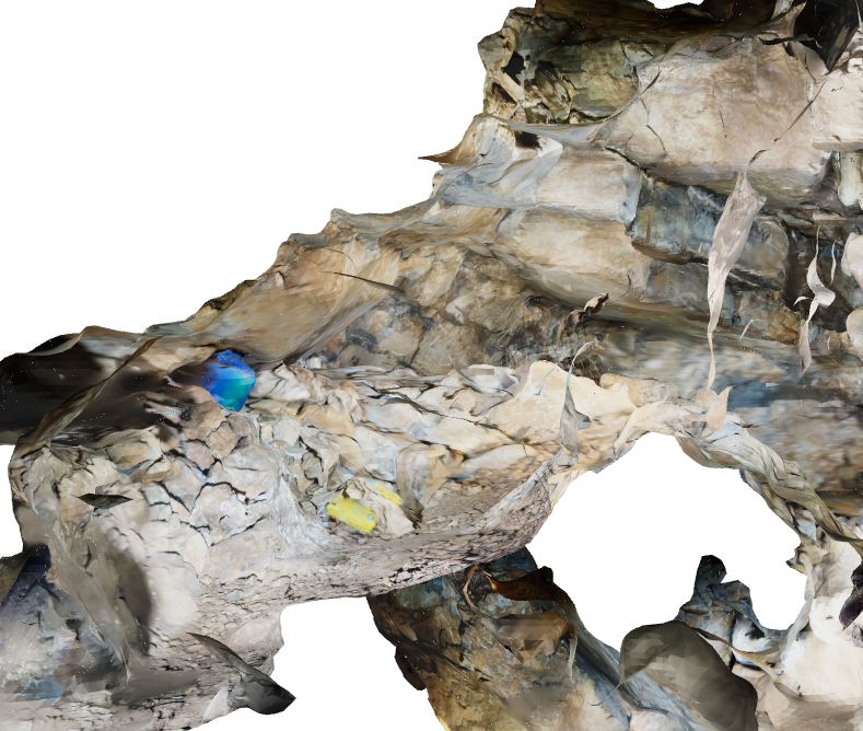
Hayes Hole
View model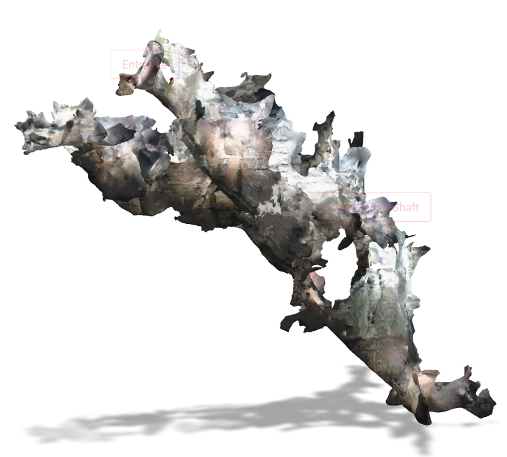
Rift Mine
View model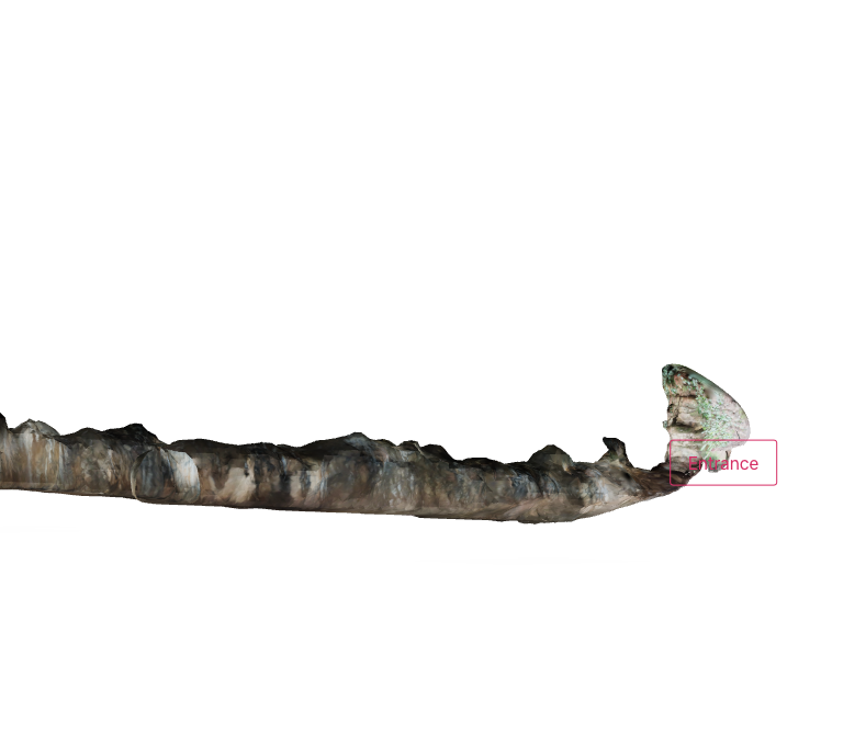
Sandford Levy
View modelStainsby’s Shaft / Blackmoor Swallet
The old miners’ shaft in Blackmoor Valley, where MCG are digging towards the caverns the miners described. Read the history of Stainsby’s Shaft.
About 33 MB
Charnel Shaft
First found in the snow in February 1963, lost the same day, and rediscovered by MCG decades later. Read the story of Charnel Shaft.
About 23 MB
Hayes Hole
About 12 MB
Rift Mine
About 6 MB
Sandford Levy
A partial scan on Sandford Hill, from the entrance to the 1st Crossroads. More about Sandford Levy.
About 2 MB
3D scans by Tom Harrison, also on armchaircaving.com.